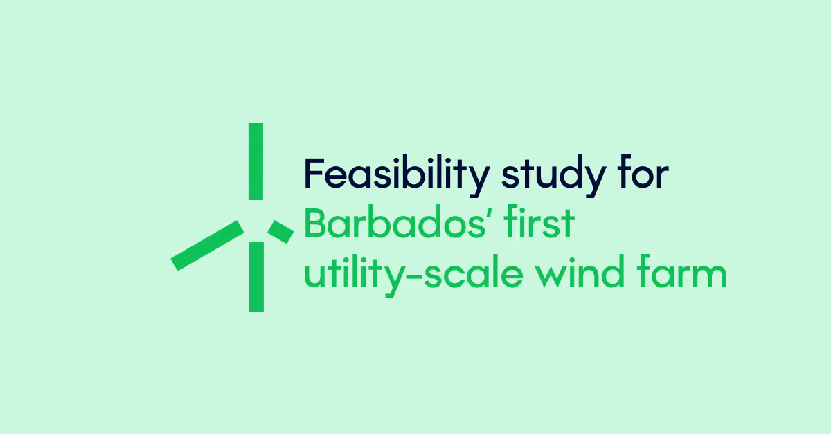
Energy Resource Assessment
Gain trust with bankable renewable energy yield assessments, site data analysis and measurement campaigns.
200+ companies trust 3E's energy consulting services


Our energy resource assessments leverage 25 years of proprietary solar data and wind data alongside insights from our SynaptiQ platform. We combine traditional methods with advanced Python-based analytics for reliable results.

Wind and solar resource measurement
To help assess the feasibility and potential of your renewable energy projects, we collect and analyse data on the available wind and solar resources from your site. Employing methods and tools such as LiDARs or measurement masts, we ensure the equipment’s installation, data monitoring campaigns and decommissioning of all devices. To guarantee high-quality resource data, our measurement campaigns are conducted in compliance with MEASNET, IEC 61400-50, and TG6 guidelines.
Energy yield assessment
Using the resource data collected during measurement campaigns, we predict the long-term energy output of renewable energy systems, including wind turbines, solar plants, and BESS installations.
We utilise top-tier tools such as WindPro, Meteodyn, and PVsyst to develop detailed models that incorporate site topography, 3D visualisations, and a real-time database of project-specific assumptions. Our mass-yield tool for long-term yield assessment (LTYA) enables swift and consistent evaluations across large portfolios, delivering robust and efficient estimations.
In addition, we assess key environmental loss factors such as soiling and snow impacts, ensuring that energy yield predictions accurately reflect real-world operating conditions.
Count on our proven expertise to ensure assessment accuracy and strengthen the bankability of your project.


Wind energy site suitability assessment
We ensure your wind turbines can withstand any environment. Our detailed comparisons of turbine design parameters, following the prescriptions of the IEC 61400-1, guarantee an optimal design tailored to your site's unique conditions.
LiDARs rental
A LiDAR (Light Detection and Ranging) is a remote sensing technology that measures wind speed and direction at different heights above ground. It can be deloyed in various environments, including challenging terrains and offshore sites.
We provide precise LiDAR services to optimise yield assessments and ensure reliable, bankable results. With our fleet of LiDARs, we bring unmatched flexibility and expertise to your wind energy project.

Would you like to learn more?
Have questions? We're here to help. Let's connect!
Related resources
Explore our knowledge hub for insightful articles, guides, and solutions